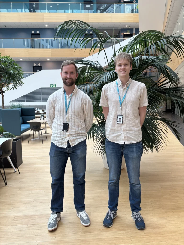
In our latest Q&A, Zine Labidine Delimi, Principal Geotechnical Engineer and Regional Geoscience Services Manager, Middle East, shares an insight into his role and the geoscience expertise behind jack-up operations.
Based in Abu Dhabi, Zine leads Global Maritime’s geoscience capability across the Middle East, covering geotechnics, geophysics, GIS and subsea cables. With more than 14 years of experience across Europe and the Middle East, he discusses the importance of understanding what lies beneath the seabed, the value of bringing geoscience into projects early and how integrated expertise can help manage increasingly complex jack-up locations.
Zine also shares more about SPUDFIT, developed alongside colleagues Amardeep Amavasai and Peter Rey Dinoy, which he will present at OJME 2026 in Dubai on 6 October.
What does a day in the life of Regional Geosciences Manager look like?
A jack-up weighs thousands of tonnes and stands on three patches of seabed. My job is to make sure they hold.
Day to day, that means reviewing site assessments and leg penetration analyses, reading the soil and survey data for the next location, and working through foundation problems with our structural and naval architecture colleagues. I also lead our Middle East geoscience team, so a lot of my time goes into guiding engineers and keeping our advice sharp and consistent.
And when a client calls because a rig move is days away, or something odd has shown up on the seabed, they need an answer they can act on, fast. In short: I turn soil data into decisions.
What role does geotechnical data play in reducing risk during jack-up operations?
It is the difference between planning and discovering. Everything about a jack-up’s safety, from preload to storms to pulling the legs out, depends on the soil under its spudcans.
Good data lets us predict how far the legs will go, spot layers that could cause a punch-through and check old footprints before the rig arrives. It works both ways: it prevents nasty surprises, and it avoids needless conservatism. Without it, the rig finds out during preload, the most expensive and most dangerous place to learn.
What are the biggest geotechnical considerations when assessing a site for jack-up operations?
First: does the data actually cover where the legs will go?
- Punch-through. A strong layer over a weak one, where a leg can suddenly plunge during preload. Still the top foundation hazard.
- Penetration. Too little and the rig is less stable or may cause damage to spudcan; too much and you run out of leg, or struggle to pull it out.
- The seabed. Old footprints, debris, slopes, scour, pipelines and interaction with platform piles.
- Storms and earthquakes. The foundation has to hold when it matters most.
In the Arabian Gulf, add carbonate soils and cemented caprock over softer layers: classic punch-through territory, and a place where local experience really counts.
Can you share an example of how integrated engineering and geoscience expertise can improve decision-making for projects?
Picture a rig moving next to a platform with old footprints and a pipeline nearby. Geophysics maps the seabed. Geotechnics predicts how the legs will penetrate, and where they might slide or punch through. Structural engineers check what the legs can take. The rig mover knows how precisely the rig can be placed. Each holds one piece of the puzzle.
Together, they answer the only question that matters offshore: where do we put the rig, on which heading, and what do we have ready? That is the thinking behind SPUDFIT. An integrated view also often saves a location that a piecemeal review would reject.
What inspired you to pursue a career within our industry?
The most important part of any structure is the part nobody sees. Offshore, that is the seabed: invisible, variable and unforgiving. A few metres of soil can decide where a rig stands, how it preloads, and whether a move is routine or a headline.
Fourteen years on, I still love that mix of science and responsibility. The best days are the quiet ones, when a rig goes in smoothly because we made the right call.
What’s your favourite thing about being part of the Global Maritime team, beyond the day-to-day work?
I am never the only expert in the room. A jack-up decision can need geotechnics, geophysics, structures, naval architecture and marine operations, and at Global Maritime they are all one message away. Good ideas do not stay in one office or one discipline, and our clients get better answers, faster.
What’s something exciting you’re currently working on?
SPUDFIT, which I present at OJME in Dubai on 6 October, developed with my colleagues Amardeep Amavasai and Peter Rey Dinoy.
In mature fields, rigs keep coming back to the same platforms, and each one leaves a footprint in the seabed. Land a leg on the edge of one and it can slide sideways and tilt the whole rig. Most assessments check a few positions one at a time. SPUDFIT maps the risk across the entire site in minutes, using survey data operators already have. The rig move team sees which position, which heading and which leg to watch before the rig sails, not on location.
If you could change one thing about our industry, what would it be, and how does Global Maritime play a role in shaping that future?
Bring geoscience in at the start, not the end. Too often the site assessment is the last box ticked before a move. Brought in early, it shapes the location, the survey scope and the plan, closes data gaps and keeps options open while the schedule is still flexible.
Our geoscience team sits alongside rig move, structural and marine warranty specialists, so Global Maritime can connect those steps instead of passing the project from one discipline to the next.
In your opinion, what’s the key challenge facing the jack-up operations right now, and how do GM’s capabilities help overcome it?
Crowded seabeds. Across the Middle East, some platforms have hosted jack-ups for decades. The seabed around them is full of old footprints, while pipelines and risers close off whole sides. The codes say keep one spudcan diameter clear of old footprints. Around a busy platform, that is often impossible.
So, the real question becomes: where is the least risky place to stand, and what do we have ready? Answering it takes geotechnics, structures and rig move expertise in the same conversation. That is how we work at Global Maritime: site assessment, move planning and marine warranty, one joined-up answer.
If you could describe your role in three words, what would they be?
Ground. Judgement. Decisions.